UN
4 Castle Street
£ 485,000
Description
We don't have a Description for this property.
- Bedrooms
- 4
- Bathrooms
- 0
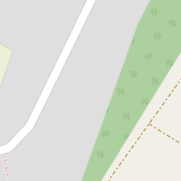
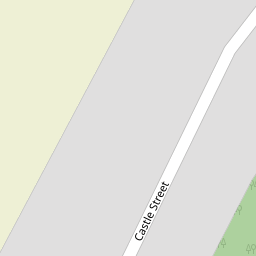
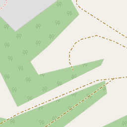


Leaflet © OpenStreetMap contributors
The heatmap indicates the level of crime in the area. The color of the heatmap indicates the crime severity and recency.
Metrics Year-on-Year
- Average area value
- 428,831.00 £Increased by 14.91 %
- Average area rental value
- 1,521.00 £/moIncreased by 0.66 %
- Est rental Yield
- 4.26 %Decreased by 12.35 %
- Crime Rate
- 3.00 %Unchanged by 0.00 %
from 373,202.00 £
from 1,511.00 £/mo
from 4.86 %
from 3.00 %
Nearby Schools
| Name | Type | Ofsted | Distance |
|---|---|---|---|
| Wainscott Primary School | Academy Sponsor Led | 1.12 KM | |
| Forward2 Employment Limited | Special Post 16 Institution | 1.46 KM | |
| Chattenden Primary School | Academy Converter | Good | 1.50 KM |
| St Mary'S Island Church Of England (Aided) Primary School | Voluntary Aided School | Good | 1.88 KM |
| Hilltop Primary Academy | Academy Converter | 2.24 KM |
Images
Nearby Streets
| Name | Average Price | Average Sqft | Distance |
|---|---|---|---|
| Beacon Hill Lane | £ 2,200,000 | 0 | 0.00 KM |
| Maingate Road | £ 100,000 | 0 | 0.00 KM |
| Shalom | £ 0 | 0 | 0.00 KM |
| Vanguard Way | £ 400,000 | 0 | 0.00 KM |
| Augustus Way | £ 359,373 | 0 | 0.00 KM |
Nearby Transport
| Name | NLC | TLC | Distance |
|---|---|---|---|
| Strood (Kent) | 5191 | SOO | 2.55 KM |
| Rochester | 5203 | RTR | 2.58 KM |
| Chatham | 5199 | CTM | 2.85 KM |
| Gillingham (Kent) | 5169 | GLM | 3.84 KM |
| Higham | 5202 | HGM | 6.49 KM |
Nearby Listings
| Address | Price | Type | Score | Distance |
|---|---|---|---|---|
| Castle Street, Upnor, Rochester, Kent. ME2 | £ 270,000 | BUY | 7 / 10 | 0.01 KM |
| Castle street, Rochester, ME2 | £ 285,000 | BUY | Unknown | 0.01 KM |
| Castle Street, Upnor, Rochester, Kent | £ 314,000 | BUY | 7 / 10 | 0.02 KM |
| Castle Street, Upnor, Rochester, Kent | £ 475,000 | BUY | 7 / 10 | 0.02 KM |
| Admiralty Road, Upnor, Rochester, ME2 | £ 375,000 | BUY | 7 / 10 | 0.46 KM |
Nearby Properties
| Address | Price | Distance |
|---|---|---|
| 26 Castle Street | £ 280,000 | 0.00 KM |
| 27 Castle Street | £ 75,000 | 0.00 KM |
| 21 Castle Street | £ 162,500 | 0.00 KM |
| 43 Castle Street | £ 420,000 | 0.00 KM |
| 39 Castle Street | £ 59,500 | 0.00 KM |